REMOTE SENSING FORECASTING LABORATORY OF MINERAL AND OIL DEPOSITS (Forecasting Laboratory) was found in 2013 as a private company, based on Russian State Scientific Research Institute of Remote Sensing Methods for Geology.
The main activity of the company is the interpretation of aerospace survey data and further comprehensive analysis, taking into account the available geological, geochemical and geophysical data for the needs of prospecting geology. PhDs and doctors of sciences, authors of a number of scientific articles and monographs, as well as practicing geologists are among our employees.
Remote Sensing Laboratory actively collaborates with industry research institutes, universities and production geological companies. This allows, if necessary, to involve the international level experts into the work on projects.
We strive to keep track of current international achievements, to participate in thematic scientific conferences, to improve our skills and to apply the new knowledge in our work. In addition to participating in applied commercial projects, the Laboratory staff carries out methodological and research work on their own in order to master new methods and increase the efficiency and reliability of the results of interpretation.
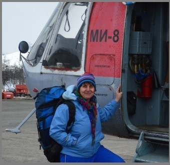 Tatiana Arestova
CEO, a leading geologist
Education: St. Petersburg State Mining University named after G.V. Plekhanov (National Research University)
author of articles on geology and remote sensing methods in geology
Kirill Volin
Deputy Director, specialist in tectonics, structural geology, remote sensing methods and GIS, author of articles and monographs on application of remote sensing methods for ore prospecting
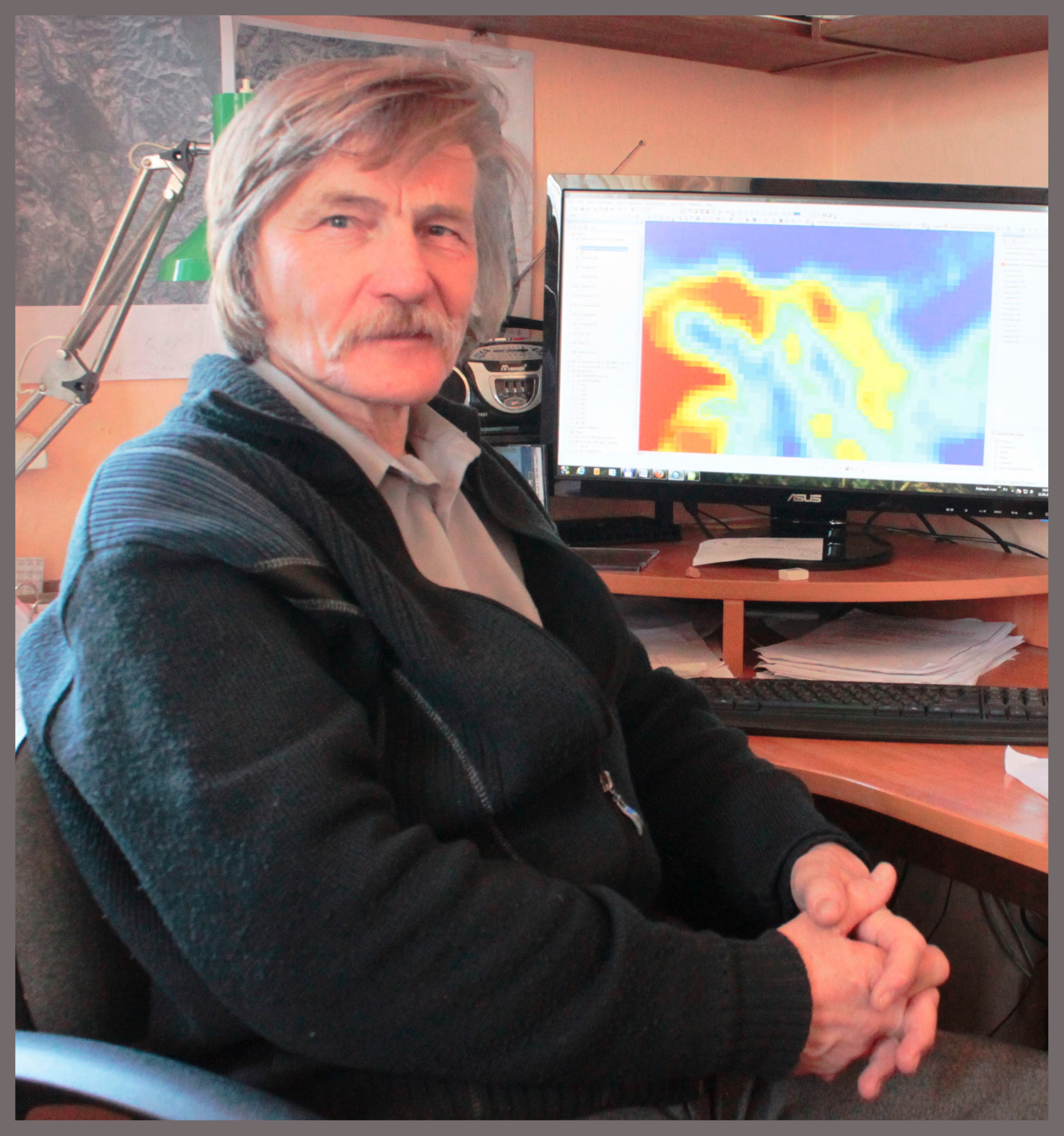
Sergey Abushkevich
Chief Geologist, PhD in Geological and Mineralogical Sciences
Education: Russian State Geological Prospecting University (MGRI-RSGPU)
author of articles on geology and remote sensing methods in geology, over 40 years of experience in geology, one of the discoverers of the Ag-Au deposit Zergunskoye
Alexander Yakimov
GIS specialist
Education: St. Petersburg State University, Faculty of Geology
Experienced in ArcGis, ArcView, Erdas Imagine, ErMapper and other specialized software, 3D modeling, database creation, processing of remote sensing data, has experience in field geological work

Dmitry Lipilin
Leading Geomorphologist, PhD in Geography
Education: Kuban State University
author of scientific articles Scientific interests: geomorphology, ecology, research of hazardous zones and dangerous geological processes
Alexandra Sokolova
Geologist, petrograph, one of the discoverers of the К-deposit
Education: St. Petersburg State University, Faculty of Geology
Scientific interests: structural geology, prospecting for mineral resources
The key objective of our work is to identify the sites within the given area that are the most promising in terms of cosmogeological characteristics.
As a result, the customer receives additional information on structure and other features of the area of interest, which is often not reflected in the available maps, including geological. Using the information provided, the customer is able to localize the field exploration works, which, in turn, leads to the optimization of the expenses and significant reduction of the exploration costs.
We work with with any type of deposits and a wide range of mineral resources: gold, silver, copper, nickel, iron, diamonds, uranium, rare metals, oil, gas, construction and decorative stone, precious stones, underground waters.
Our specialists have carried out numerous projects in various regions of Russia and abroad: Sudan, CAR, Egypt, Tunisia, Sierra Leone, Argentina, Southeast Asia etc.
Each our project is in essence a scientific work. Therefore, every project requires a thorough analytical approach and includes a variety of components, some of which are unique for each individual project.
Thus, each single project implies its own necessary set of works, which is determined by the specifics of the task at hand.
We always try to do an optimal and complete set of studies, and sometimes additional types of work that are not provided for by the terms of reference, in order to obtain the best and most reliable result.
In addition to forecasting work within specific licensed areas, the laboratory also performs interpretations of sattelite images and analysis of the prospects of the territory within the framework of additional geological exploration of areas on a scale of 1: 200,000 and any small-scale regional forecasting and deciphering work for large territories.
Our company also conducts research of dangerous geological processes based on the interpretation of satellite images, including monitoring of processes during a given period of time and retrospective analysis.
The cost of work is made up of a number of components, and depends on the area of the site, the scope of work, types of area analysis, the number of required maps and sketch-maps, deadlines, cost of satellite images, and other factors.
The cost is calculated individually for each project.
In addition, at the request of the customer, any type of work can be performed separately.