Monitoring of hazard zones
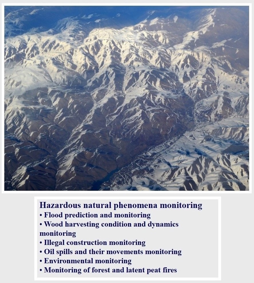
Our company conducts research of hazardous zones and dangerous geological processes based on the interpretation of satellite images, including monitoring of processes during a given period of time and retrospective analysis.
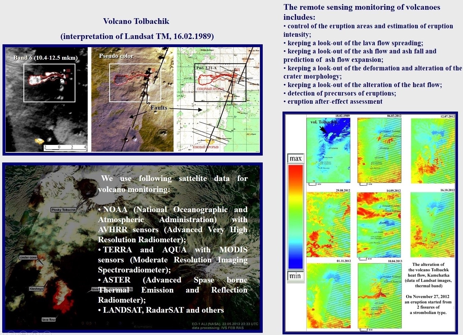
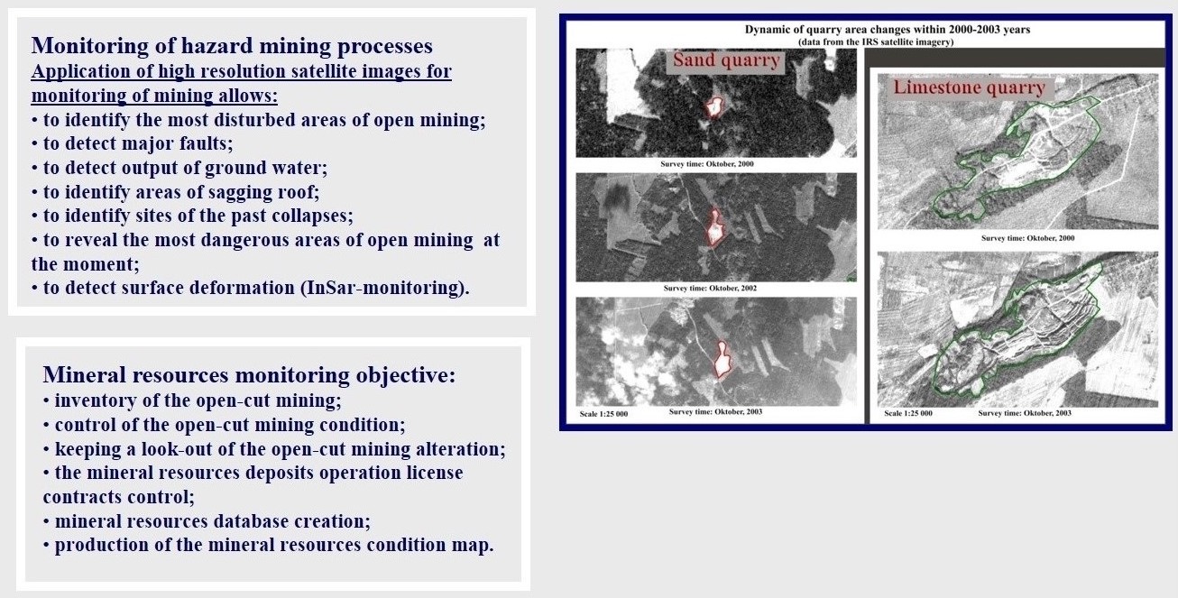
This can be studies of the state and dynamics of destruction of the walls of open mine workings, the phenomena of erosion and abrasion, the dynamics of volcanic activity, etc. Such work is not a priority for us, however, we have experience of this kind of projects.