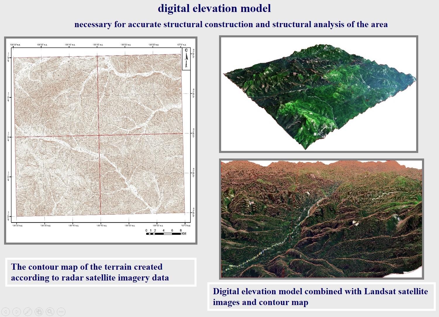
DEM
A digital elevation model (DEM) is created on the basis of only satellite data, as well as using satellite data in combination with ground-reference data (for high-precision large-scale DEM).
When constructing a DEM, the analysis and identification of the presence of various anomalies and artifacts of the relief and the correction of artifacts in areas that have insufficient satellite data coverage are accomplished. Also the procedure for smoothing the DEM to give more natural outlines characteristic of real relief, and eliminate the redundancy of data caused by the features of technology (satellite altimetry ) obtaining the initial data is carried out.
As a result of the work, a contour map and a three-dimensional digital elevation model are built.