Sattelite data based maps
Database formation:
Selection of remote sensing data (RSD) of various resolutions, different seasons and years of imaging, which meet the requirements for the remote basis of the State Geological Map, from the general array of works existing on the territory.
The selected data block is the base for the RSM selection when creating the satellite imagery based maps.
For the entire selected RSD array, a detailed register is compiled, which indicates the type of imaging system, year, survey time, cloudiness, solar altitude and azimuth, and other characteristics, as well as a scheme for covering the work area with satellite data.
Collection of existing geological, geochemical, geophysical and topographic data, maps, diagrams, field work results and other available information for the work area.
The collected information is systematized, analyzed, raster data is digitized and processed using specialized software products.
Formation of a GIS project (development of its structure and filling with collected raster and vector data).
Creation of satellite imagery based maps:
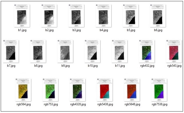
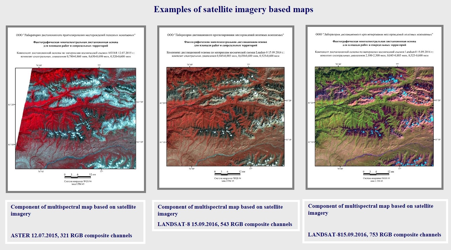
Factographic polychronic satellite imagery based maps (SIBM) are a set of per-channel images, as well as a set of images based on RGB composites for the work area.
The technology for creating such a map contains a number of operations. The original “raw” RSD are processed step by step and transformed for each spectral zone of the image. Then synthesized images are formed.
All distance frames we have created comply with the Requirements for distance frames for geological maps.
For all satellite imagery based maps, SIBM passports are generated. The SIBM passport contains technical information for each photograph: the name of the shooting system, the identification number of the scene, the date of the shooting, the cartogram.
As a rule, within the framework of a working project, SIBMs are made using satellite data from different years and several seasons of survey. This allows the most accurate, detailed and reliable deciphering and interpretation of space survey materials, as well as tracking changes in the landscape over time.
As a result, the customer receives an array of high-quality satellite imagery based maps for the area of interest.