Abushkevich S.A., Volin K.A.
«Prospect of mineral resources», 2 – 2018
PROSPECTIVE AREAS FOR HYDROCARBONS IN THE
EAST EUROPEAN PLATFORM BASED ON REMOTE SENSING
Using the vegetation indexes of NDWI, NDVI and data of Landsat band 6, combined with structure-tectonic interpretation of Landsat images, has allowed establishing the location of prospective areas for hydrocarbons. The interpretation results contain new structure-tectonic data of the areas inside Belarus, Ukraine, and adjacent areas. The thrust faults with the south and west dips of thrust fault planes and fan-shaped folds as potential hydrocarbon structural traps were firstly determined by space images in this areas. Keywords: remote sensing, satellite images interpretation, spectral anomalies, NDVI, NDWI, interpretive features, hydrocarbons, thrusts, fault zones.
Abushkevich S.A., Volin K.A., Arestova T. A.
«Prospect of mineral resources», 2 – 2017
PROSPECTS OF OIL AND GAS POTENTIAL OF THE SOUTH-EASTERN COAST AND ISLANDS OF THE KHATANGA BAY ACCORDING TO REMOTE SENSING DATA
Using the vegetation indexes of NDWI, NDVI and data of Landsat bands 3 and 6, combined with structure-tectonic interpretation of Landsat images, has allowed establishing the location of prospective areas for hydrocarbons. The interpretation results contain new structure-tectonic data of the Laptev Sea north coast within Khatanga Bay area. The thrust faults with the south and east dips of thrust fault planes, arched domes and fan-shaped folds as potential hydrocarbon structural traps were firstly determined in this area.
Keywords: remote sensing, satellite images interpretation, spectral anomalies, NDVI, NDWI, interpretive features, hydrocarbons, thrusts, fault zones, Khatanga Gulf
A. Abushkevich, K. A. Volin
SEARCHING FOR GOLD ORE OBJECTS BASED ON LANDSAT AND WORLDVIEW-1 IMAGES SPECTRAL FEATURES (DEPOSITS SENTACHAN AND POLYARNIC, SARHA REPUBLIC)
Vestnik SPbSU, 7-2014
With the example of gold deposits of Sakha Republic (Yakutia), the implementation of the seventh
and eighth bands of the satellite Landsat ETM+ images for searching gold deposits is shown. It has been found that using seventh and eighth bands together gives the opportunity to separate the spectral anomalies above silicification zones from anomalies above bedrocks. This gives a positive effect on searching for gold ore objects, taking into account the structural and tectonic settings of search area.
Keywords: gold deposits, spectral anomalies, remote sensing interpretation, thrusts, fault zones.
S.A.ABUSHKEVICH, V.S.ANTIPOV
COSMOGEOLOGICAL MAPPING OF THERMAL SPRINGS
This work shows a possibility of thermal springs mapping by data analysis of multi-spectral space photos Landsat TM, ETM+, using territories of geothermal activity on Kamchatka peninsula as an example. In seismic areas, mapping of thermal springs is using in the creation of maps of seismo-tectonic zoning. Found that thermal springs mapping may be performed in winter and spring (provided that snow cover is not thick) using data of space photos in thermal infrared range.
Key words: thermal springs, space images, thermal anomalies.
 Abushkevich S.A., Volin K.A., Arestova T. A., Lipilin D. A.
«Prospect of mineral resources», 2 – 2021
INTERPRETATION FEATURES OF THRUST-FOLDED STRUCTURES IN THE AFFORESTED AREAS OF THE BAIKALIA AND PRIMORSKY REGION BASED ON REMOTE SENSING
Thrust-folded structures were identified in the afforested areas by means of structural and tectonic interpretation of remote sensing data using data of spectral bands of the multi-spectral satellite Landsat and calculated vegetation indices NDVI, NDWI. Thrust-folded structures with a Southern and Eastern dip of the thrust surface planes were first identified with a high degree of reliability.
Keywords: Earth remote sensing, Landsat, afforested area, spectral anomalies, NDVI, NDWI, interpretation, thrust, folding.
 Abushkevich S.A., Volin K.A., Arestova T. A.
«Prospect of mineral resources», 8 – 2021
DESCRIPTION AND ORE POTENTIAL OF THE ULUG-TAIGA IMPACT STRUCTURE (EASTERN SAYANS)
Abstract: Remote sensing features, structure, and ore potential of the Ulug-Taiga impact structure are presented. The ring structure — previously not evaluated as an impact structure — is described as a supposably an astrobleme. Its possible ore potential is considered.
Keywords: impact structure, impactor, target, meteorite, Landsat, NDVI, NDWI, structural and spectral remote sensing, thrusts, ore prospects.
 Abushkevich S.A., Arestova T.A., Volin K.A.
SEARCHING AND STRUCTURE OF LAMINATED INTRUSIVE BODIES BY THE EXAMPLE OF THE NORIL’SKY ORE DISTRICT ON THE DATA OF REMOTE SENSING OF THE EARTH
Using the Maslovskoye and Norilsk-1 deposits of the Norilsk ore region, the application of multispectral satellite images of Landsat ETM + and ASTER heat channel for the search for Pt-Cu-Ni ores confined to ultrabasite-basic intrusions is shown. In the course of interpretation of satellite images, thrust structures with a southeastern dip of the displacer and nappes, dislocating Triassic volcanics, as well as thermal (heat-inertial) anomalies marking ore-bearing rocks were revealed. The connection of Pt-Cu-Ni ore bodies with thrust zones has been established.
Key words: satellite images, thermal inertial anomalies, structural interpretation, thrusts, nappes, fault zones, ultramafic-basic intrusions, platinum-copper-nickel deposits.
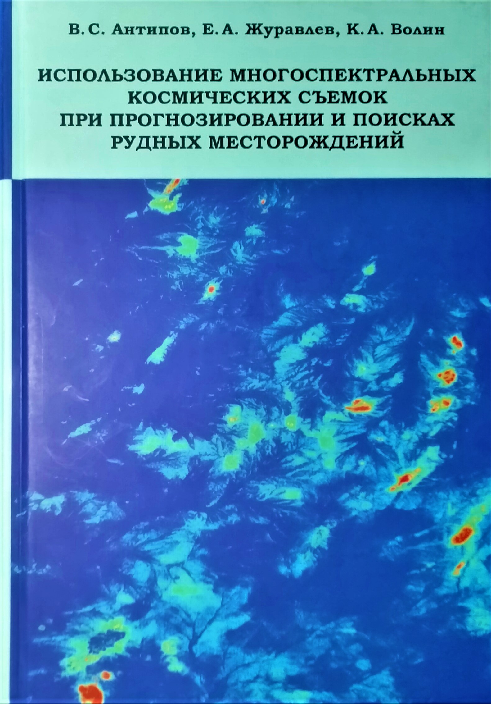
Antipov V. S., Zhuravlev E. A., Volin K.A.
THE USE OF MULTISPECTRAL SATELLITE IMAGES IN FORECASTING AND SEARCHING FOR ORE DEPOSITS
SPb,: VVM, 2018. – 218 с.